Currently aspiring to be the best Geographer in practice within the physical and social realm by utilizing GIS, Remote Sensing, and technical methods to do so.
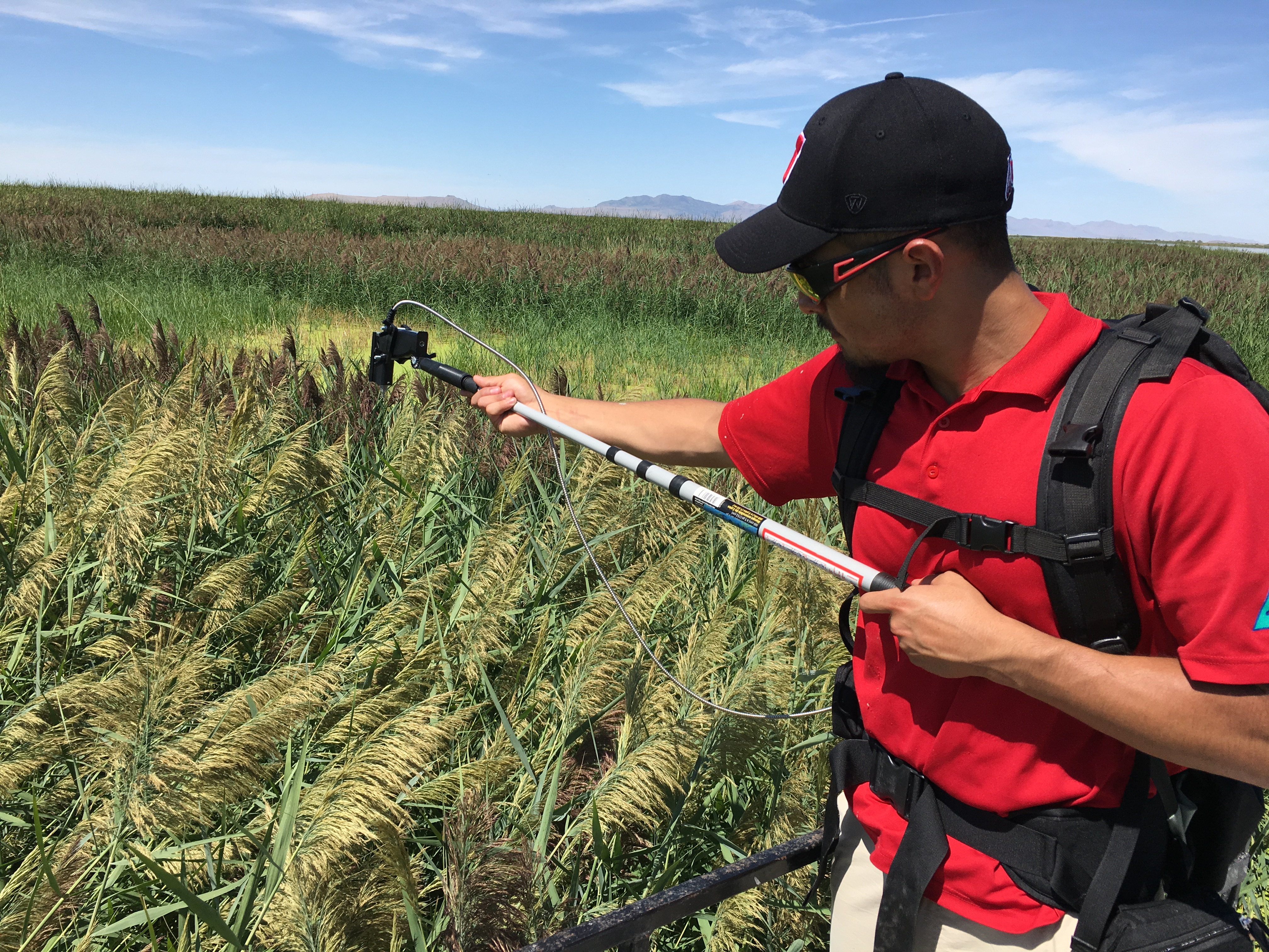
I work with projects ranging from using Remote Sensing for land change detection, to projects having to do with Human Geography
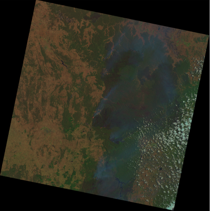
This project utilized Neural Networks to detect Australian and Californian fires.
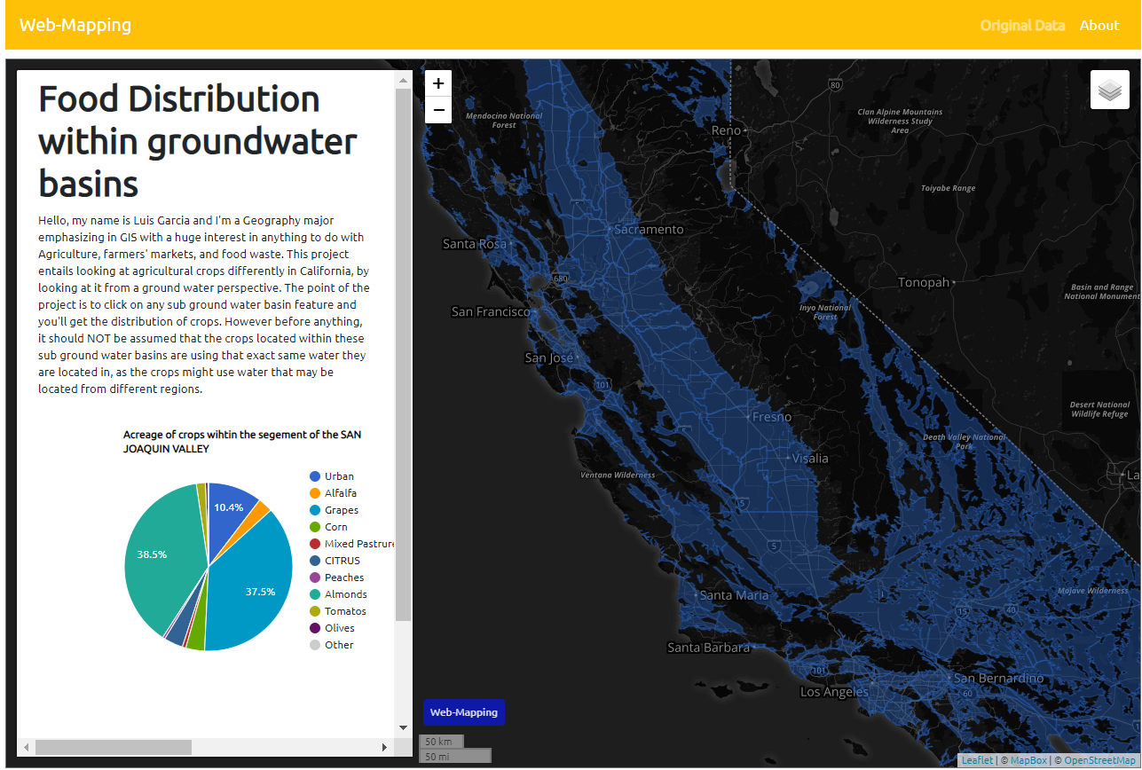
This project displays the distribution of crops within defined ground water zone boundaries.
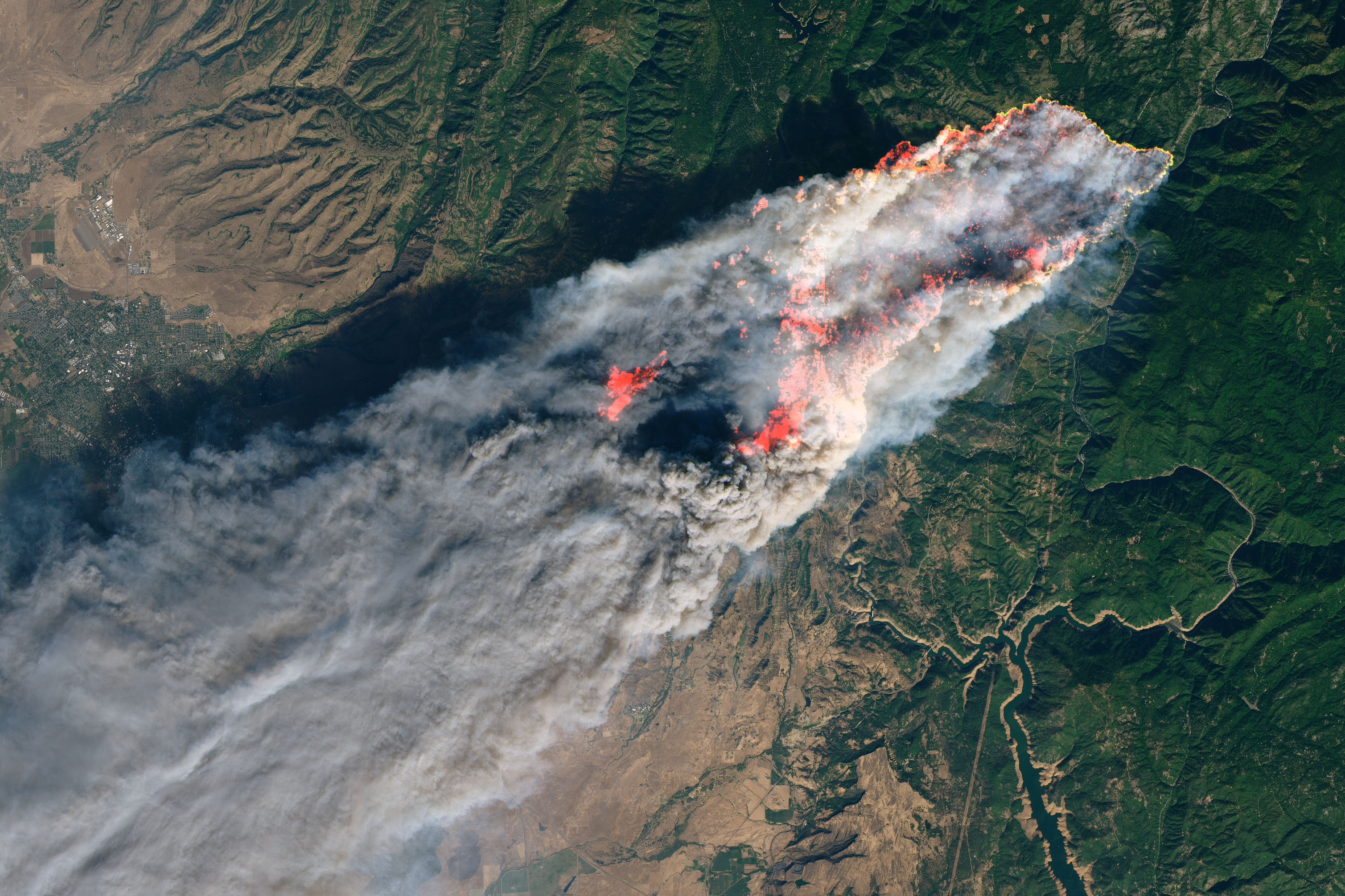
The objective of the analysis was to generalize the widespread of effects that the wildfire had on the landscape, specifically looking at coherence through 4 different subsequent image pairs. This also allowed for grouping these generalizations of values into cluster groups by utilizing K -means clustering.
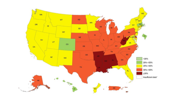
The objective is to test the socio-economical and environmental factors that may contribute to obesity.