Final Project Fire Detection using Machine Learning Principles
Introduction
The 2019 to 2020 Australian bushfire season, also known as Black summer, was one of the worst natural disasters in modern history. The extreme fire season not only caused havic within some on the wider ecosystems in central- southern Australia, but had also affected the citizens of the country. By the end of it all, more than 9,000 buildings were vanquished, along with 34 unfortunate lives lost. These damages can be assessed from above with many of the commericial domestic and international satellites and platforms. One of the more prominent platforms from above is Landsat 8, which has been taking images of most portions of the globe. These images are usually utilized to monitor and detect surface processes such as wildfire, ice melt, deforestation thorughout the globe at 14-day intervals
Methods
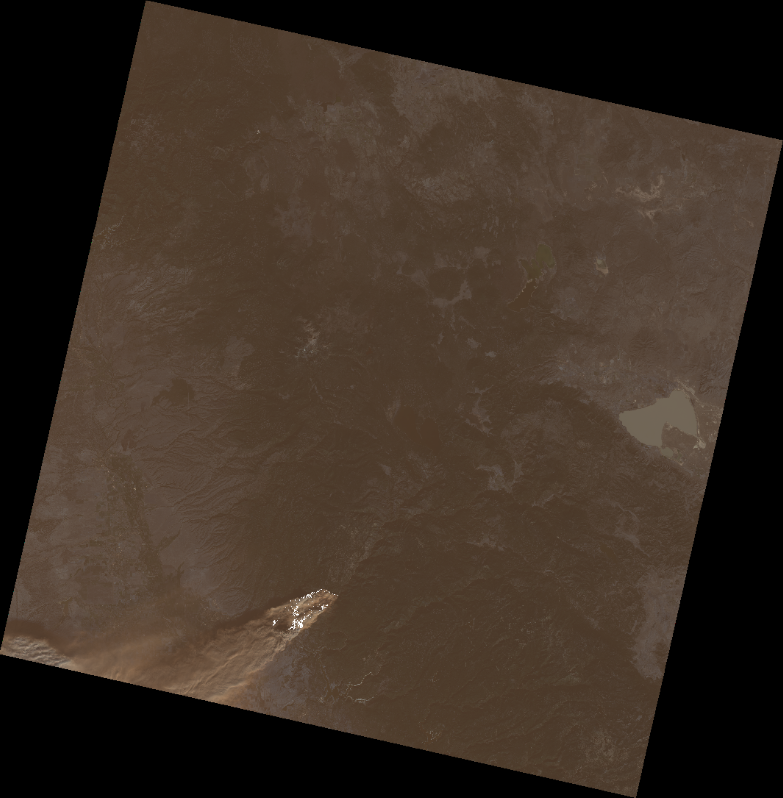
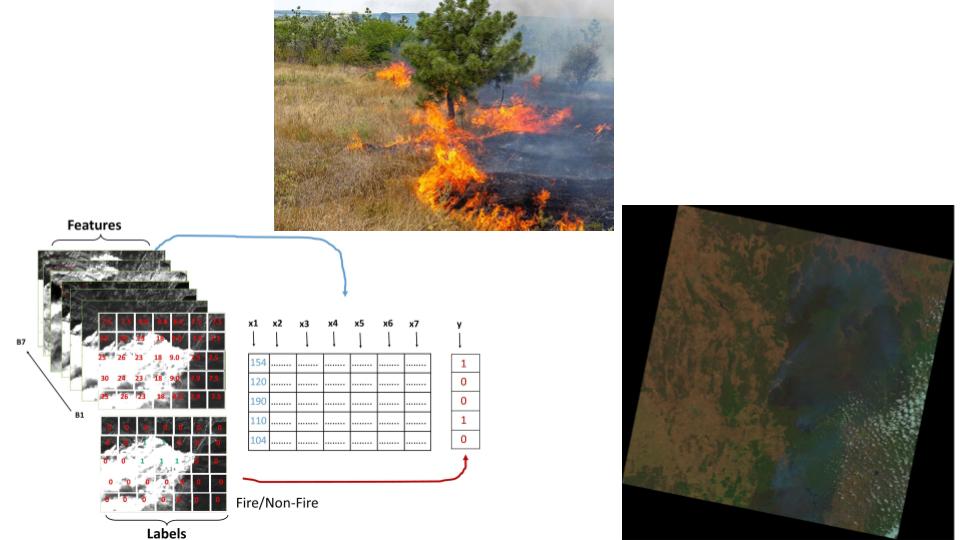
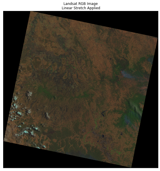
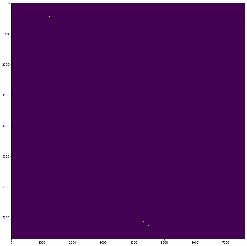
Data used entails (band 1 — band 7) of Landsat 8/OLI Sydney fire as features and try to predict the binary fire/nonfire class. These 2 images will be used for training and testing. Finally, another multispectral Landsat 8 data acquired in the the outside of Newcastle (rural town of Murrurundi) will be used for new predictions. To further prove the effiency o this method, a California fire image will also. Lastly, a Desicion Tree method will also be implemented on the California Fire.
Image/feature input for fire detection
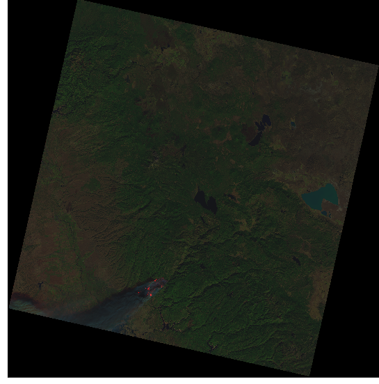
Paradise falls fire example
Output from ML algorithim: